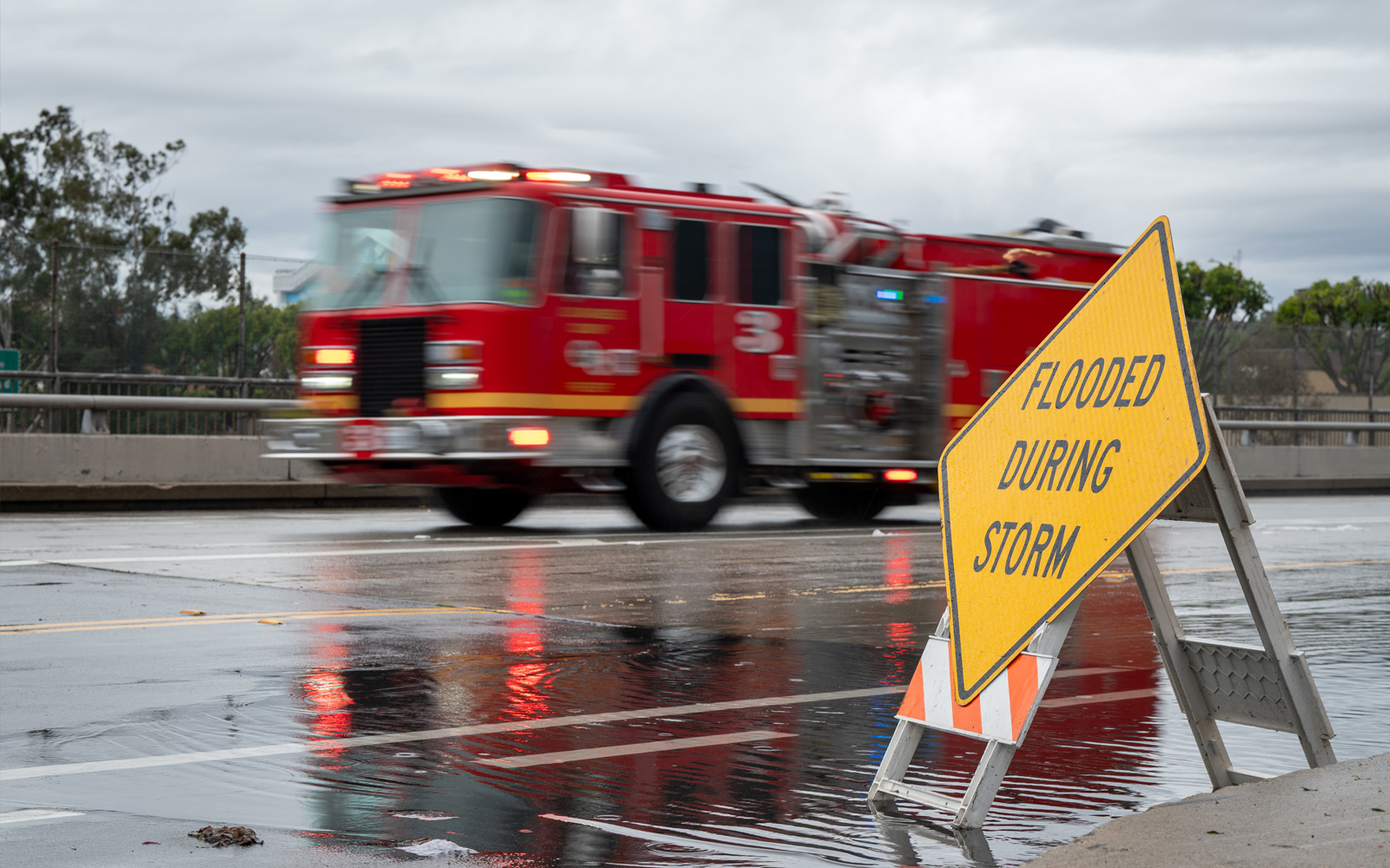
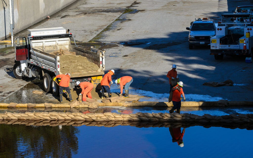
Flood Protection
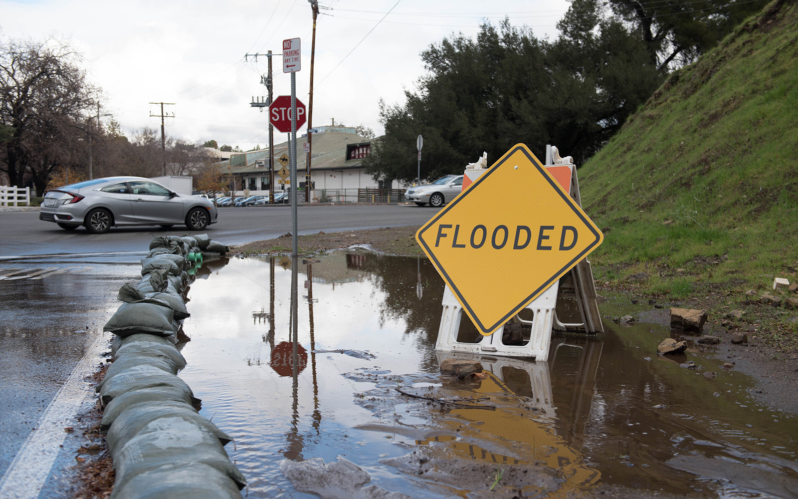
LA County's unique landscape of steep mountains, narrow channels and extensive development means flooding can happen quickly when intense storms move through watersheds. LA County operates a countywide flood protection system that includes dams, reservoirs, debris basins, channels, storm drains and spreading grounds, along with non-structural measures like flood warnings and land-use regulations. Together, these strategies reduce flood risk, preserve infrastructure capacity and support public safety.
Core Infrastructure
LA County’s flood protection system includes a diverse set of facilities designed to safely manage stormwater, reduce flood risk, and support long‑term water conservation.
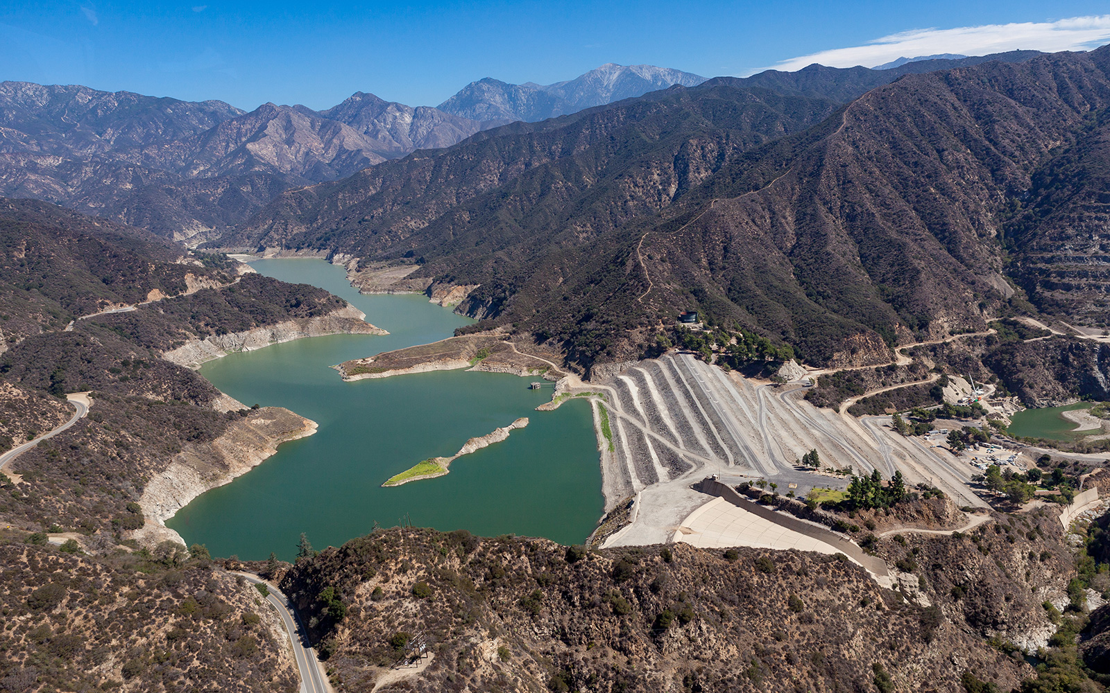
Dams and Reservoirs
Dams are built across rivers to trap sediment and control the timing and flow of stormwater moving downstream, and reservoirs are the storage spaces behind dams. These structures protect downstream communities by capturing storm runoff, managing sediment accumulation, and releasing water in controlled amounts.
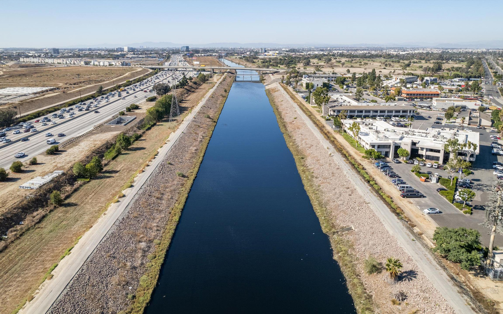
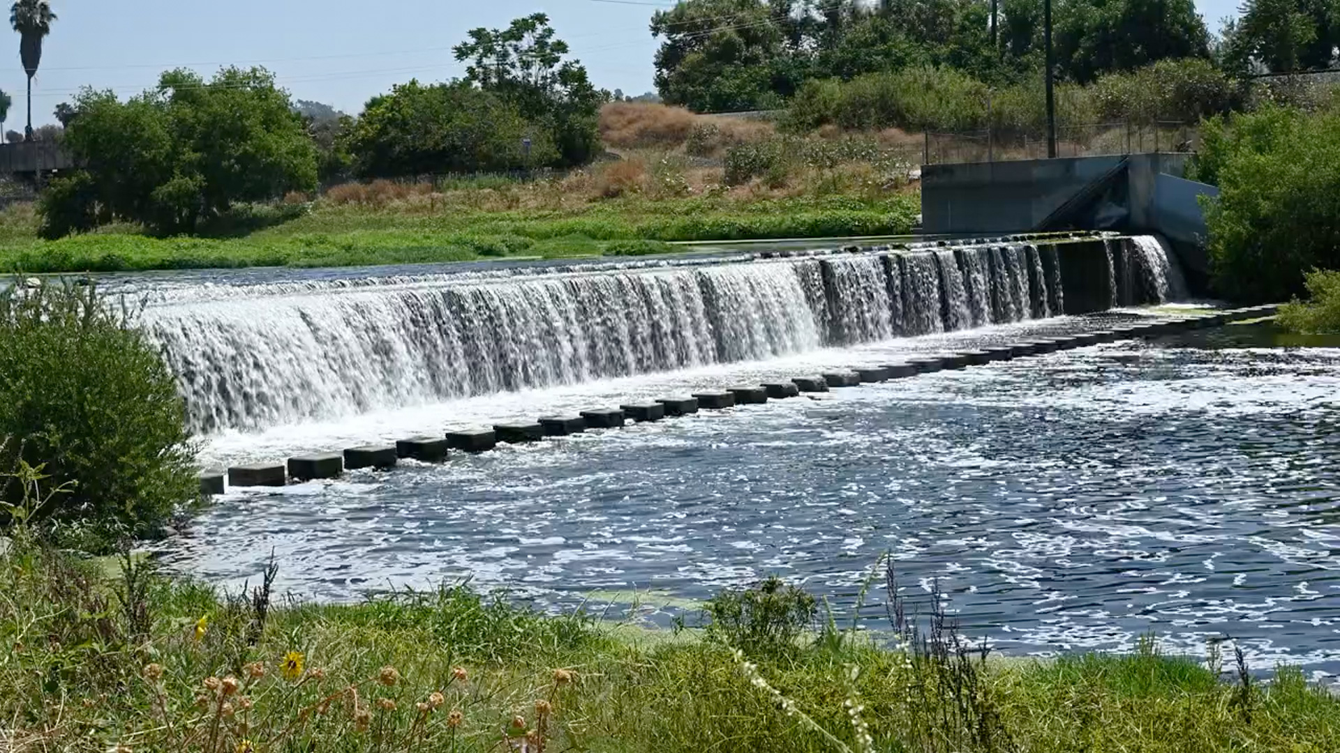
Flood Control Channels
Flood control channels are man-made, engineered waterways that safely convey stormwater through urban areas. Channels can be constructed of concrete or fully unlined. Large portions of the LA River were transformed into a concrete-lined, channelized system to reduce flood risk in densely developed areas.
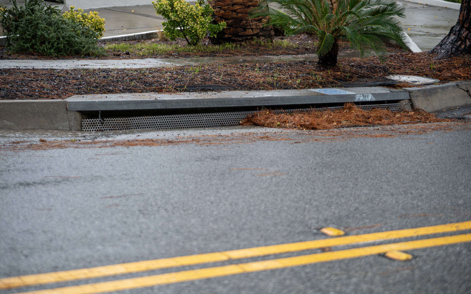
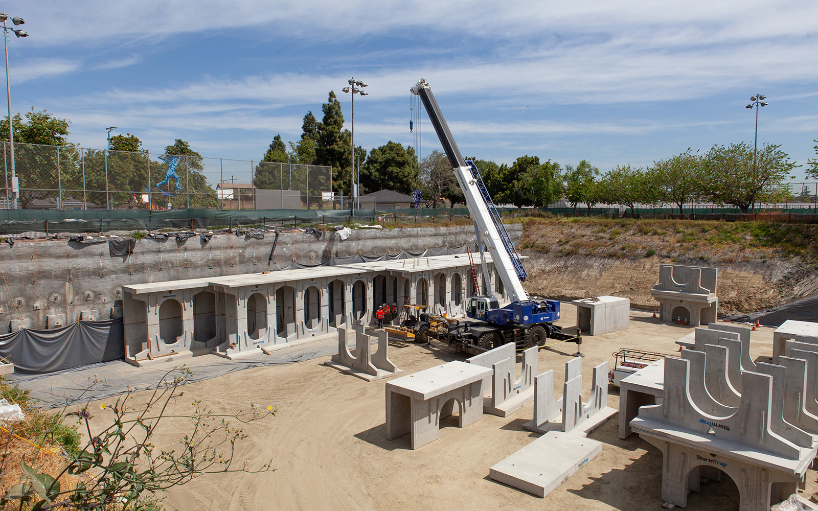
Storm Drain Systems
Storm drain systems collect stormwater runoff from streets and neighborhoods, directing it away from buildings and critical infrastructure and into the broader flood protection system. This helps prevent flooding, particularly in areas that cannot absorb excessive water, such as streets, yards and parking lots.
Debris Basins
In LA County, debris basins are typically located as the mouths of canyons, where they intercept sediment, rocks and vegetation carried down steep slopes by stormwater flows. By trapping this material before it reaches neighborhoods and channels, debris basins reduce flood and debris flow risk, protect downstream communities, and preserve the capacity of channels and storm drains.
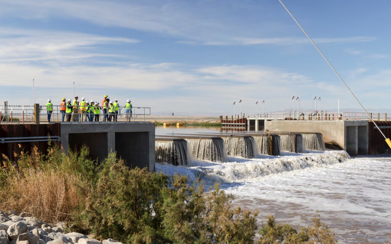
Spreading Grounds
Spreading grounds are water conservation facilities that allow stormwater to settle and infiltrate into groundwater basins, reducing surface flooding and recharging local groundwater supply.
Floodways and Flood Zones
Floodways and flood zones are important non‑structural tools used to identify areas at risk of flooding and guide safe land‑use planning across Los Angeles County. They help communities understand flood risk and support informed decisions about development and emergency preparedness.
Flood Zones
Flood zones are areas mapped based on their likelihood of flooding during specific storm events. These designations inform building standards, insurance requirements, and emergency preparedness planning. Flood zone maps are an essential resource, and are commonly used by planners, engineers, and property owners to better understand flood risk.

Floodways
Floodways represent the portion of a river, channel, or adjacent land that must remain open to safely carry floodwaters during major storm events. Because blocking or narrowing a floodway can raise water levels and flood risk for surrounding communities, development in these areas is highly restricted. Protecting floodways helps maintain public safety and preserves the system’s ability to safely convey stormwater during high‑flow conditions.
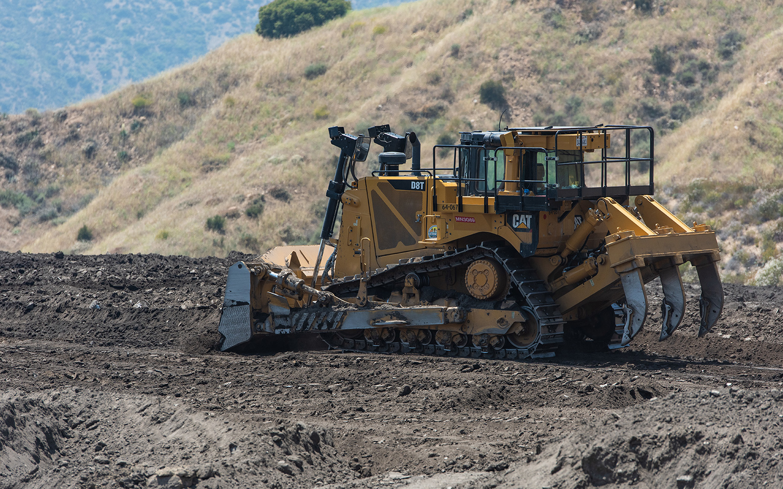
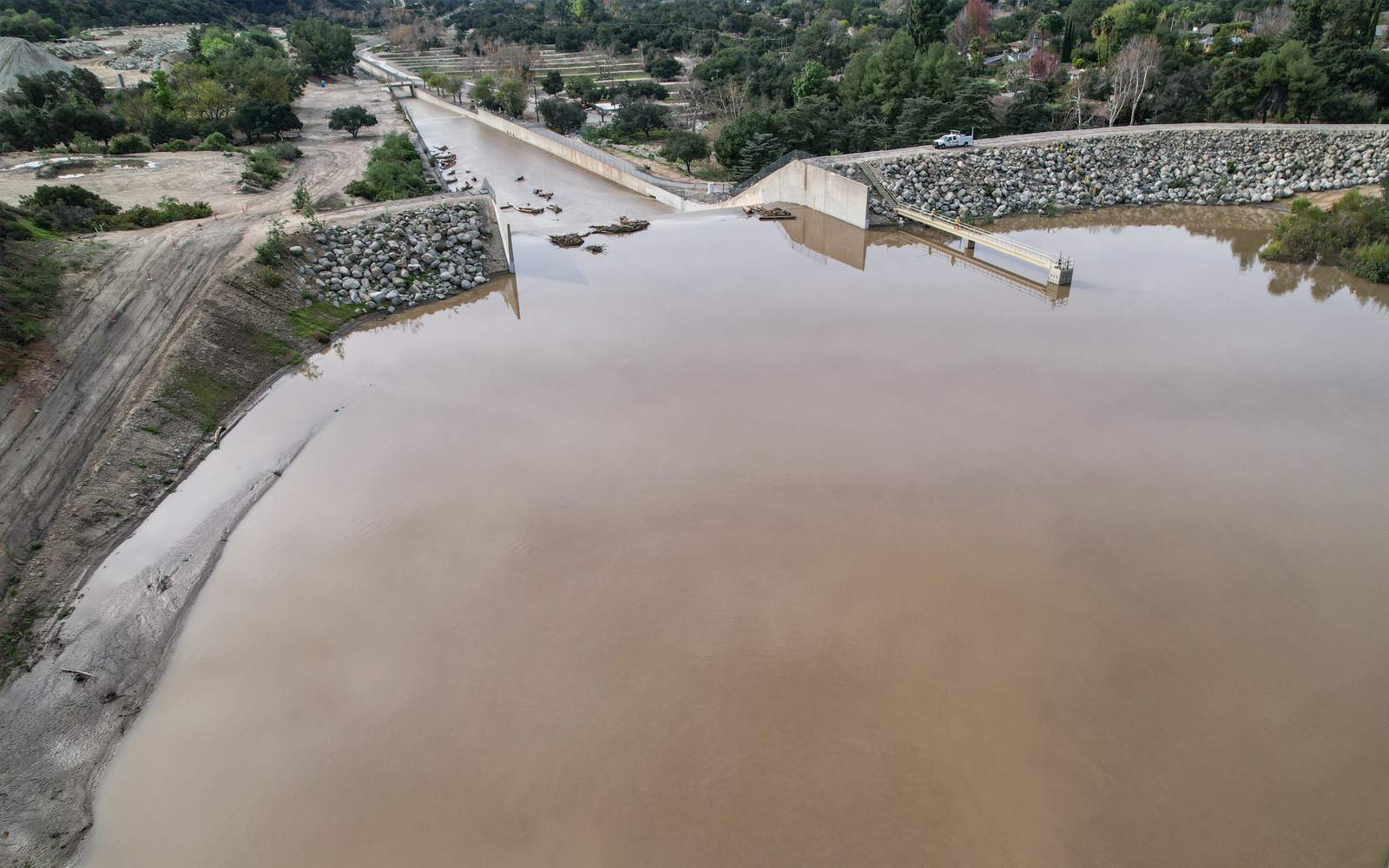
Reservoir Restoration
The Los Angeles County Flood Control District, operated by Los Angeles County Public Works, is restoring key reservoirs across LA County to preserve flood protection capacity, increase available storage for local stormwater and improve the system’s resilience. Over time, sediment naturally accumulates behind dams—especially after wildfires and major storms—reducing storage space. Restoring reservoir capacity reduces flood risk and allows our water infrastructure to adapt to future challenges while protecting local communities and ecosystems.
Coordinated Flood Protection
Flood management is the primary responsibility of the Los Angeles County Flood Control District (LACFCD), operated by LA County Public Works, in coordination with the Army Corps of Engineers and the County’s 88 cities. Flood risk is also managed through federal programs and land‑use regulations, particularly the National Flood Insurance Program (NFIP) and local floodplain management requirements.
Los Angeles County Flood Control District (LACFCD)
Established in 1915, the LACFCD manages regional flood protection and water conservation infrastructure across more than 2,700 square miles and 2.1 million land parcels. Operated by LA County Public Works, LACFD maintains and operates dams and reservoirs, open channels, spreading grounds, debris basins, storm drains, pump plants, and seawater intrusion barriers across 86 cities and unincorporated County areas. It integrates flood protection with watershed management to protect communities and support local water supply.
U.S. Army Corps of Engineers (USACE), Los Angeles District
The USACE is the region’s key federal engineering partner in flood risk management. Authorized by Congress, USACE designs, constructs, and in some cases operates major flood protection facilities—such as dams, channelized river segments, and sediment management structures—often in partnership with LACFCD. Their work strengthens the region’s flood protection system and enhances long‑term resilience.

Federal Emergency Management Agency (FEMA)
FEMA administers the National Flood Insurance Program (NFIP), which provides flood insurance typically not covered by homeowners' policies. The County and several cities are members of the NFIP. FEMA also offers tools—such as the Flood Map Service Center—to help residents and businesses understand their flood risk, identify flood zones and floodways, and make informed decisions about insurance and building requirements.
Understanding Flood Risk in LA County
Explore flood risks across Los Angeles County through this series of short videos. From spotlights on specific communities to guidance on emergency planning, flood insurance and building in floodplains, you’ll find the resources you need to stay safe and informed.