 Back to Water For LA
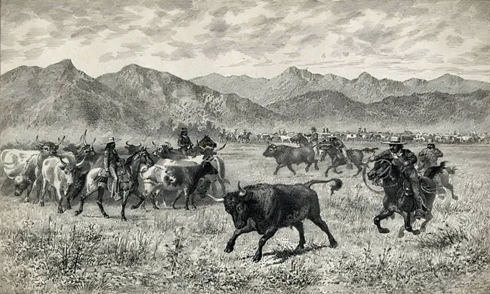
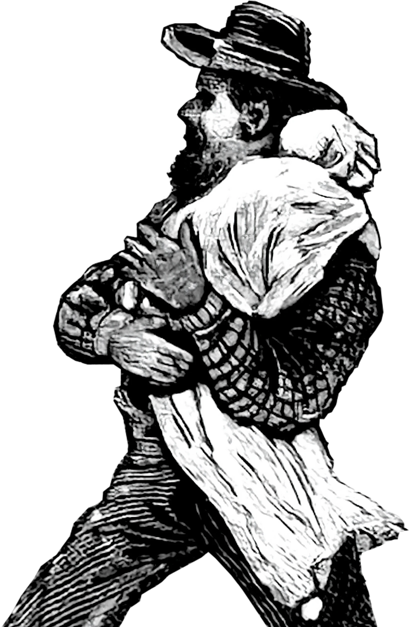
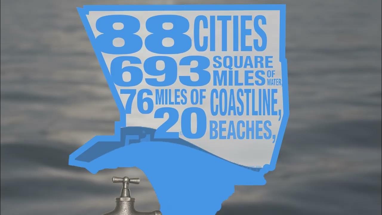
1800s Life Along the River
In the 1800s, early Los Angeles communities settled along the Los Angeles River, their lifeline along with surrounding lakes and streams. Over time, highly variable rainfall made surface water unreliable, so they turned to groundwater, marking the beginning of a long relationship with the aquifers beneath the region’s surface.
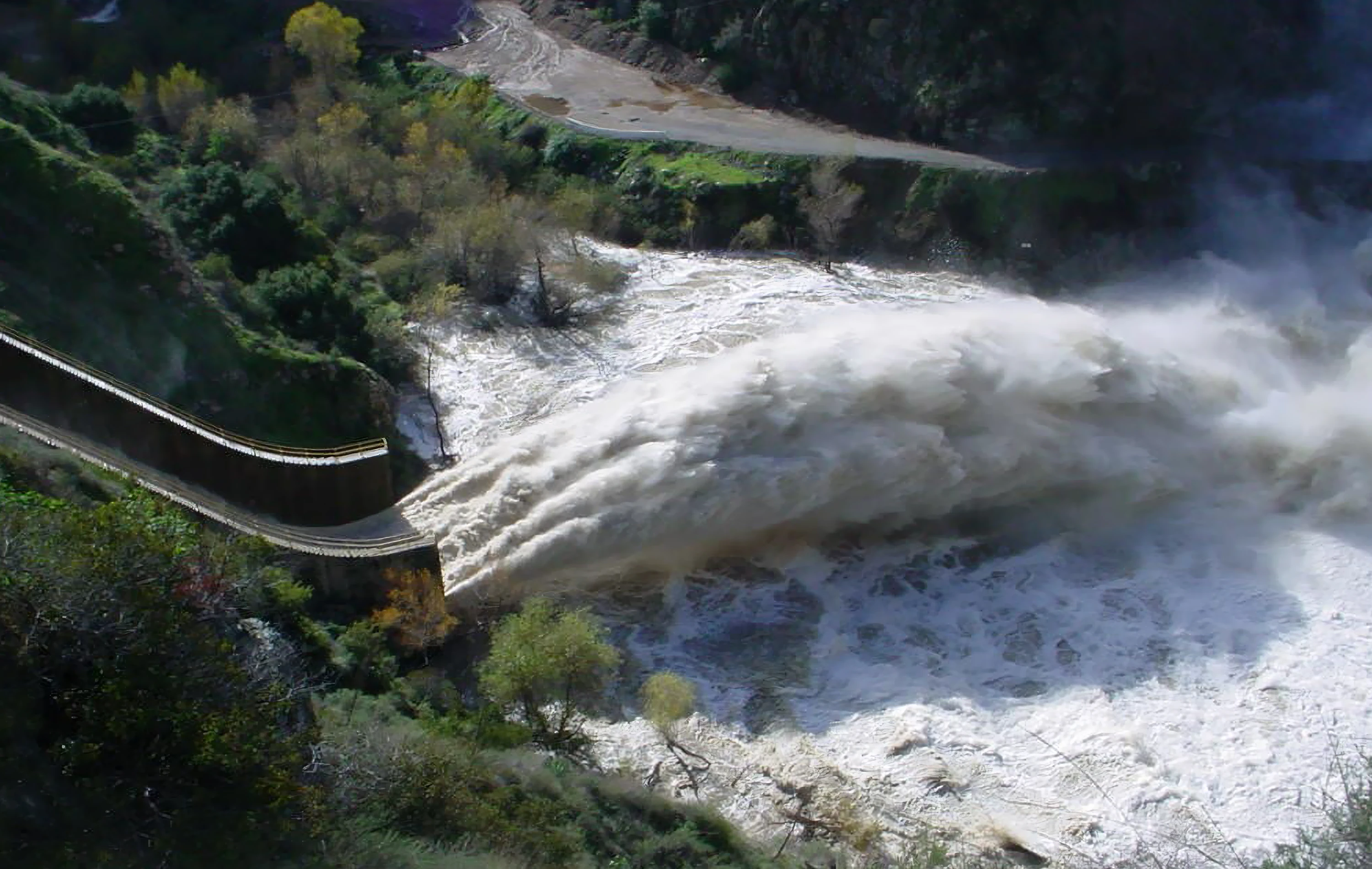
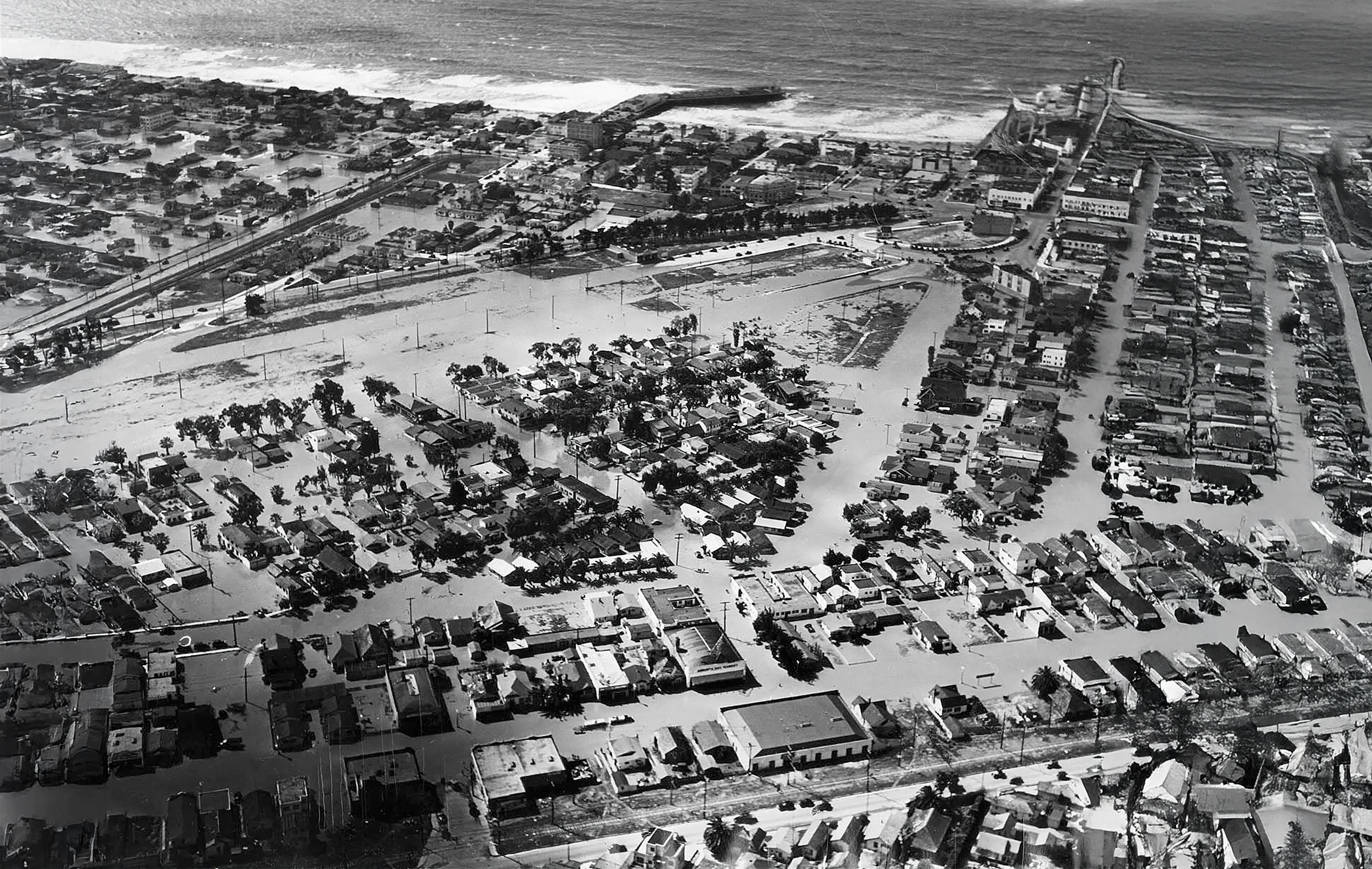
By the mid‑1800s, the region experienced dramatic swings between catastrophic floods and crushing droughts.
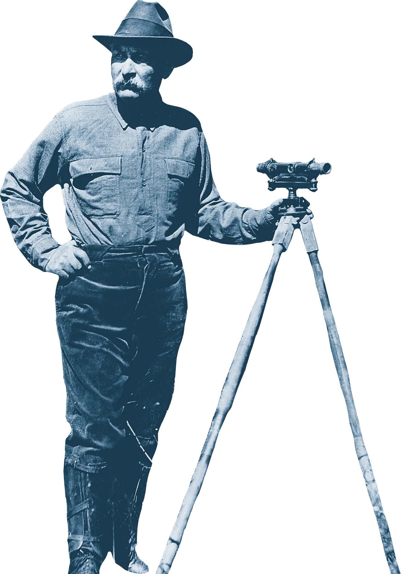
1900s The Era of Imported Water Begins
By the turn of the 20th century, LA County’s population was booming, and local water supplies could no longer support the growing population. Local leaders realized that if Los Angeles was going to continue expanding, it needed a new source of water — one far beyond the county’s boundaries.
“If you don't get the water, you won’t need it.”
William Mullholland, Civil Engineer
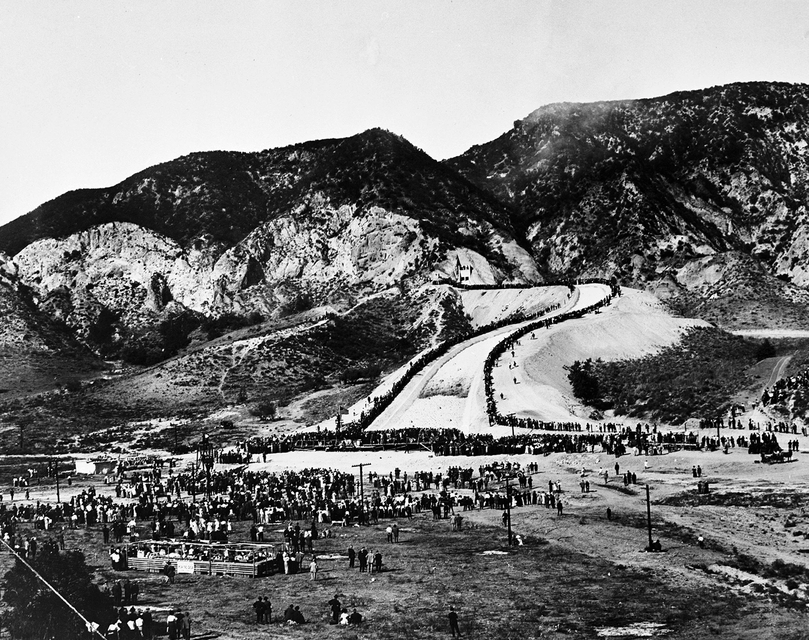
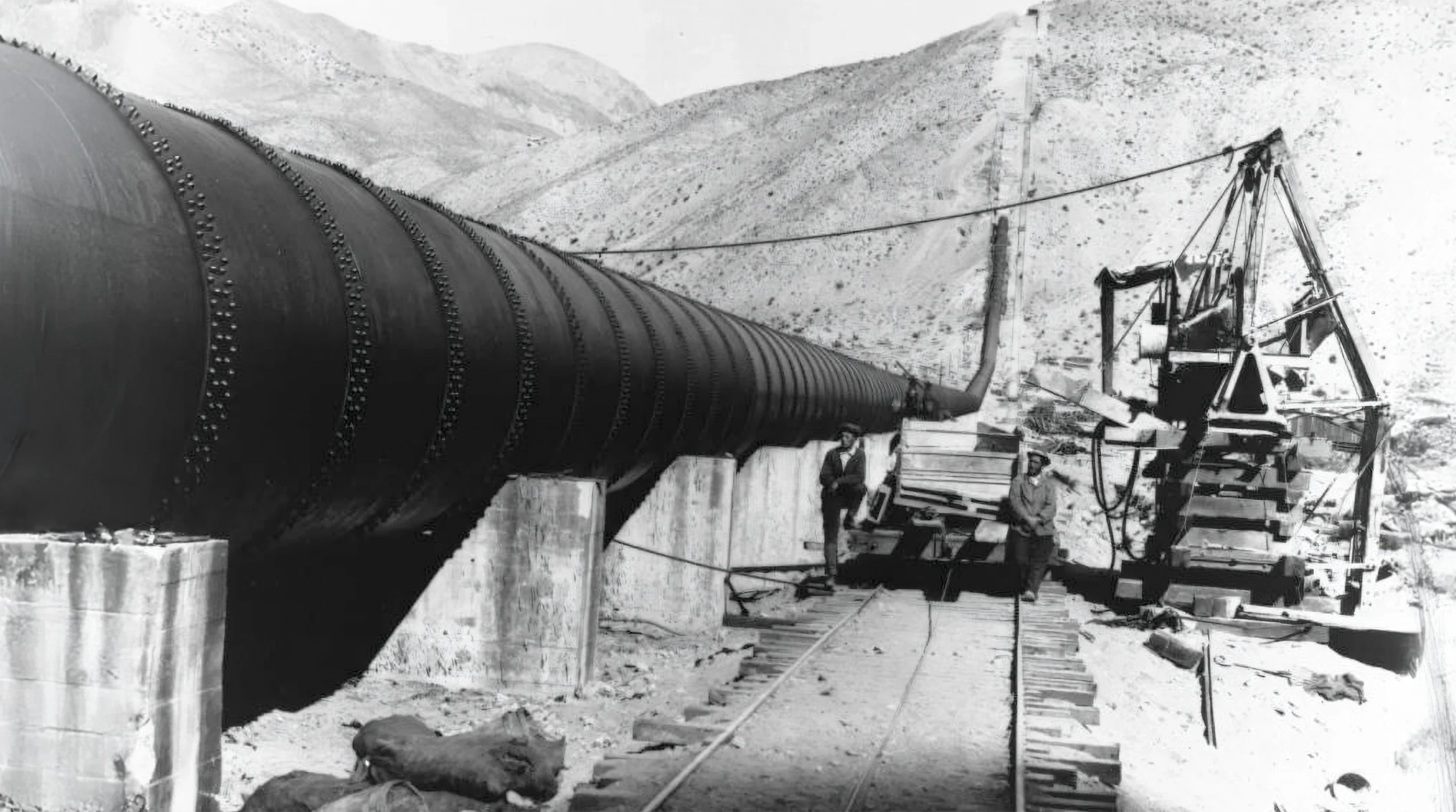
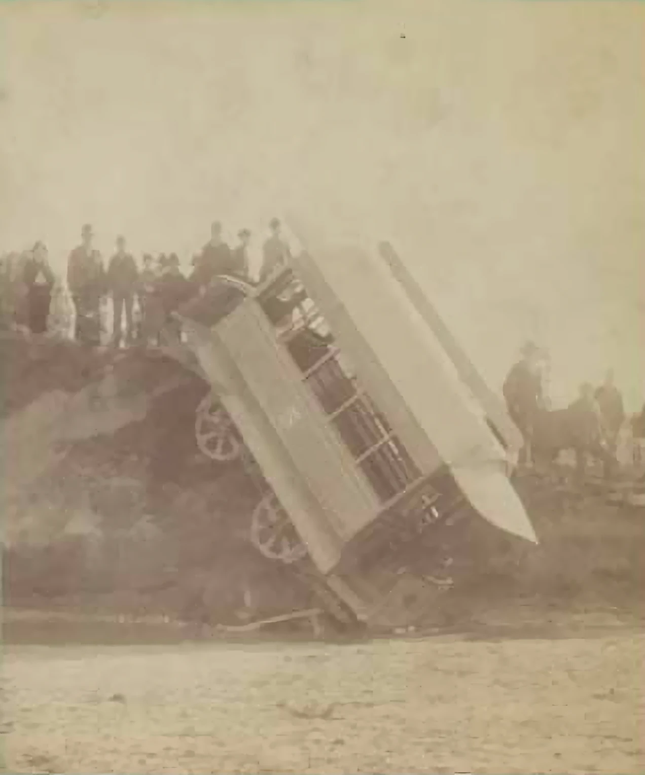
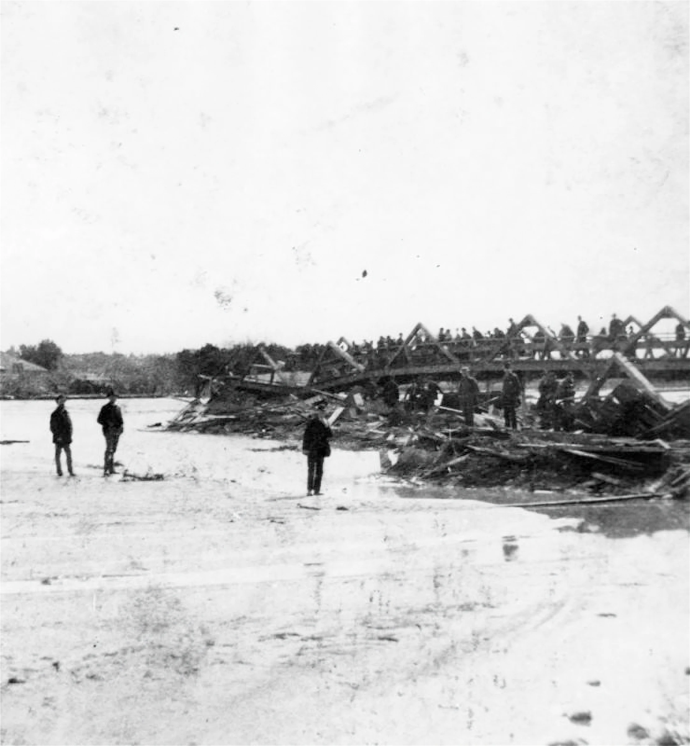
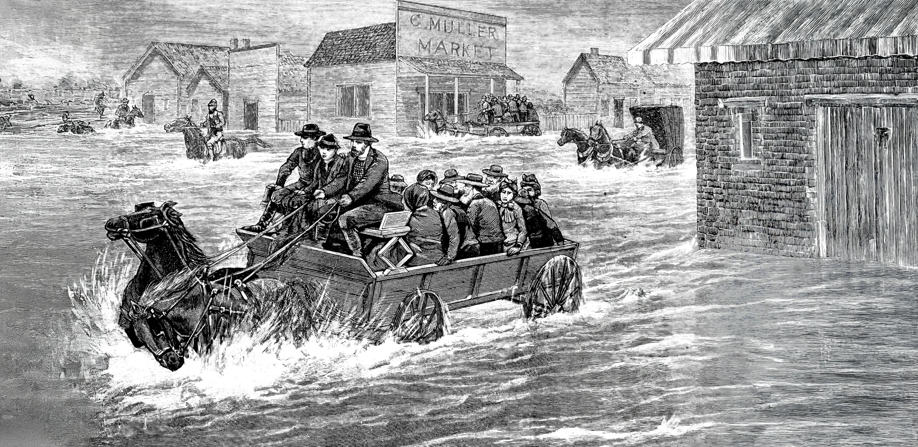
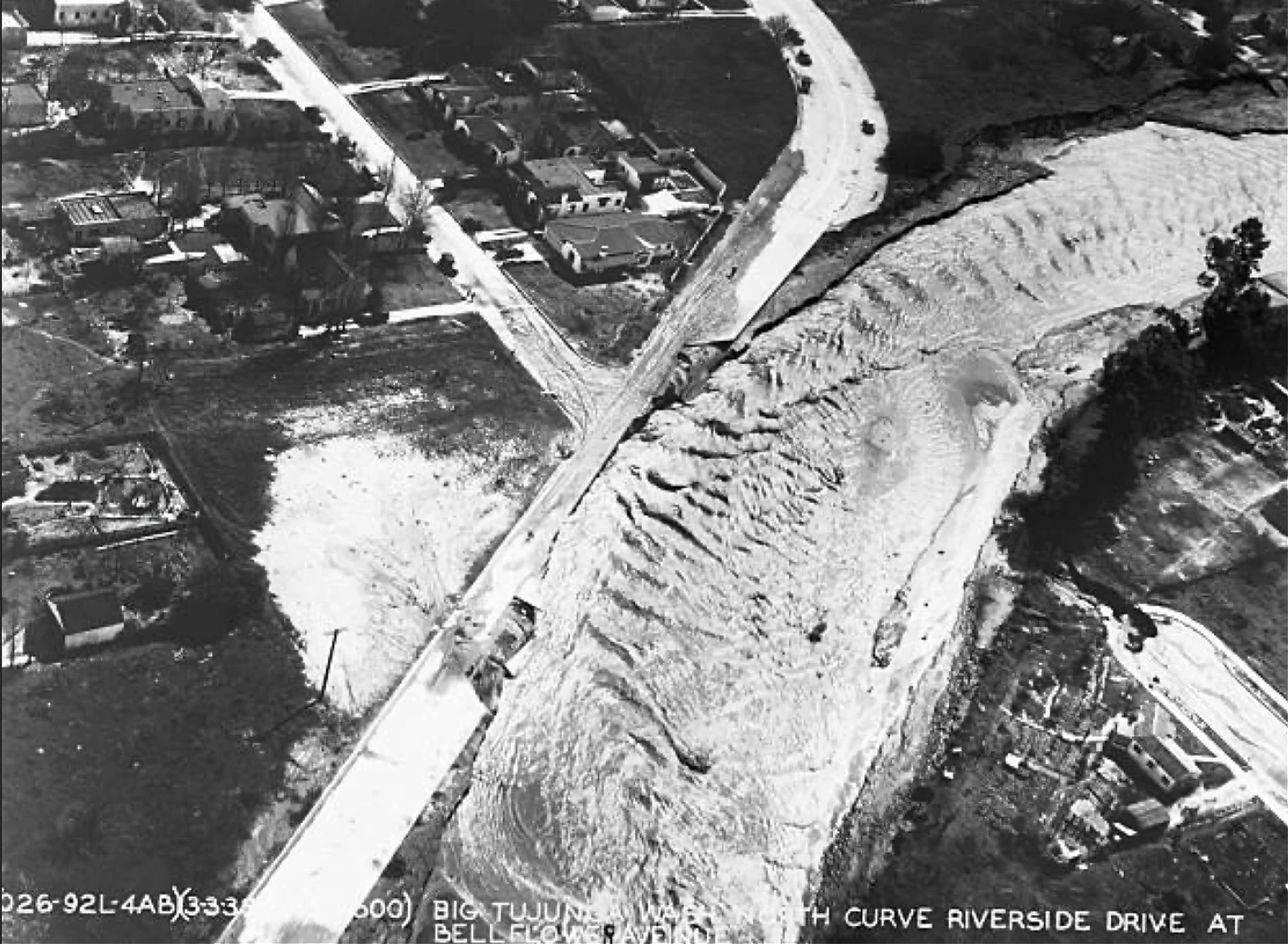
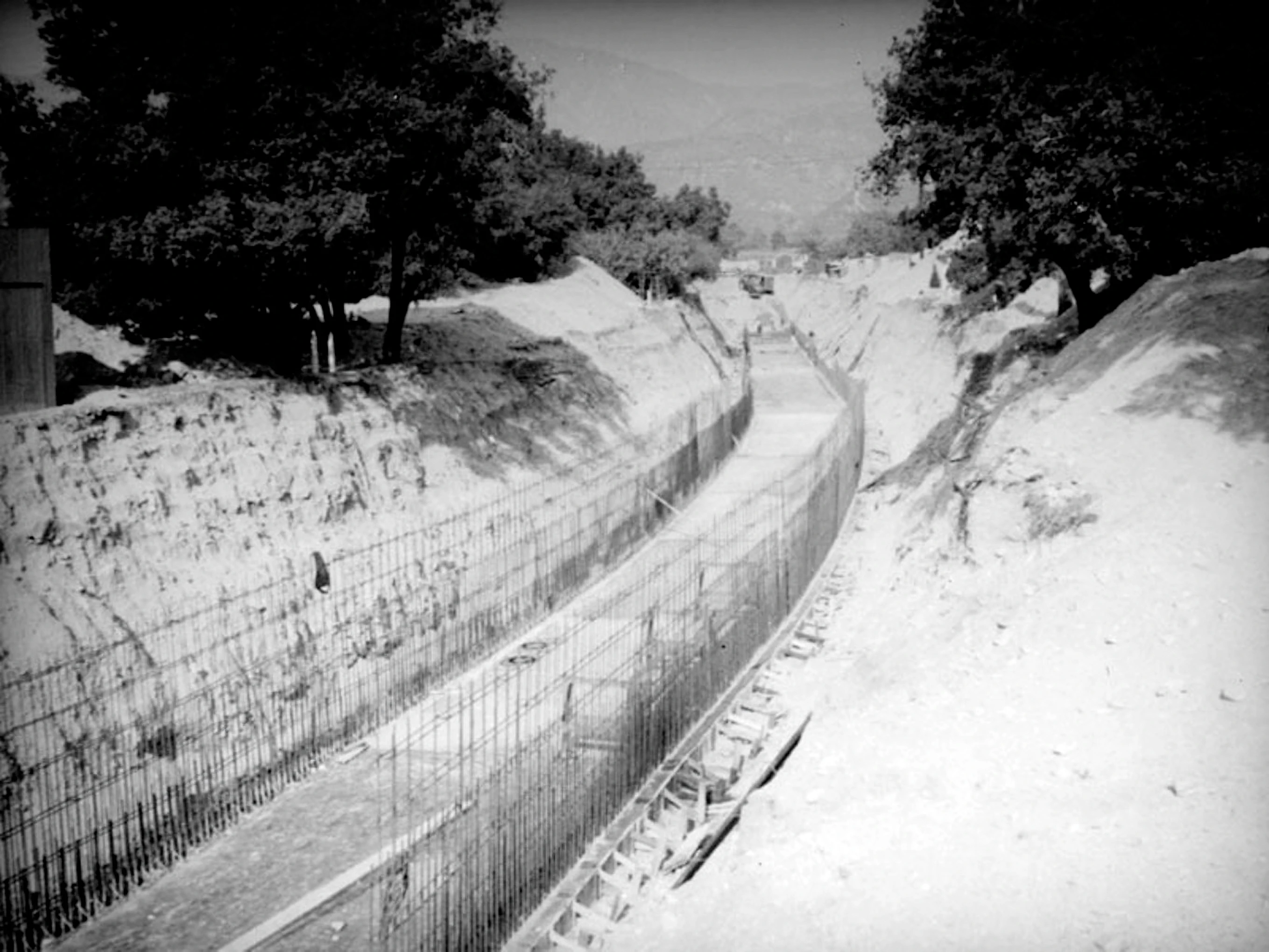
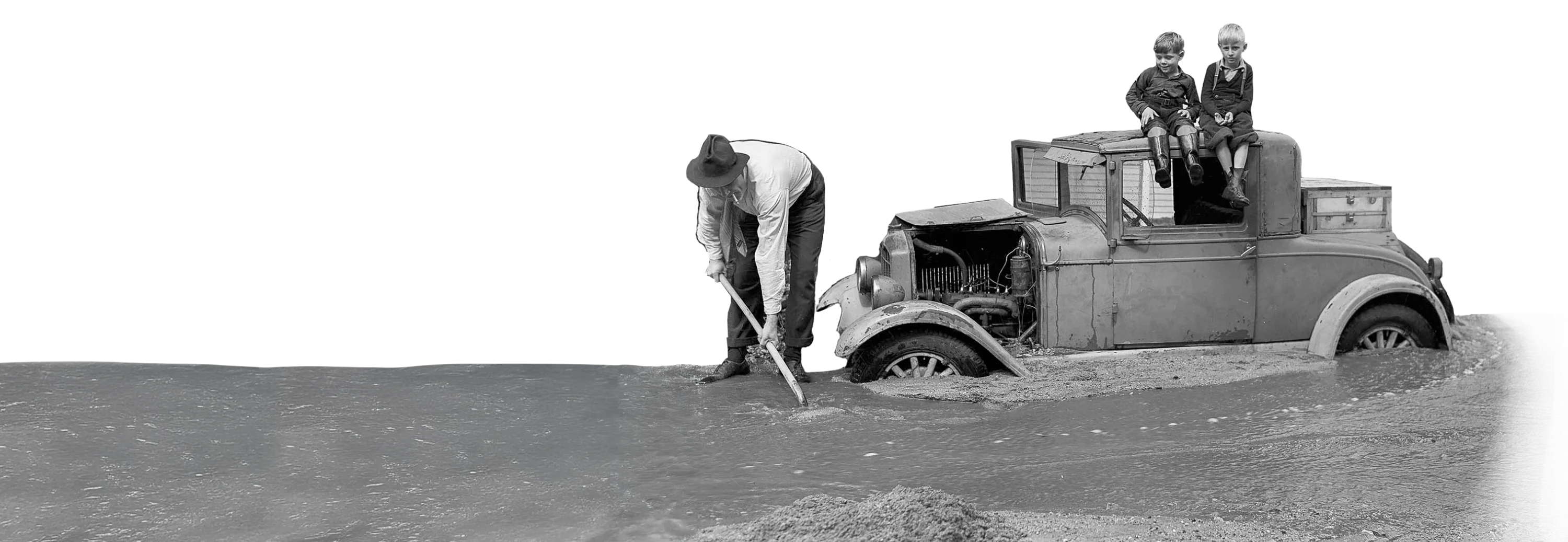
1930s Floods Change Everything
By the 1930s, LA County’s population exceeded two million, outgrowing the water supply, so Mulholland turns to eastern supplies and leads development of the Colorado River Aqueduct to carry water from the Colorado River to Southern California. Completed in 1935, operational in 1939, the aqueduct provides California 1.4 trillion gallons of water a year, enough to sustain around 10 million new residents. The abundant water makes Southern California’s sprawling growth possible, or perhaps even inevitable.
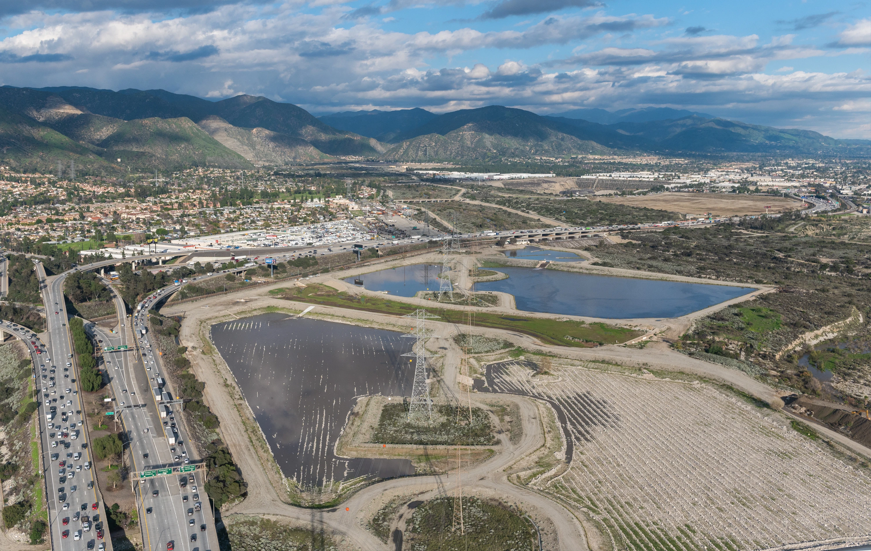
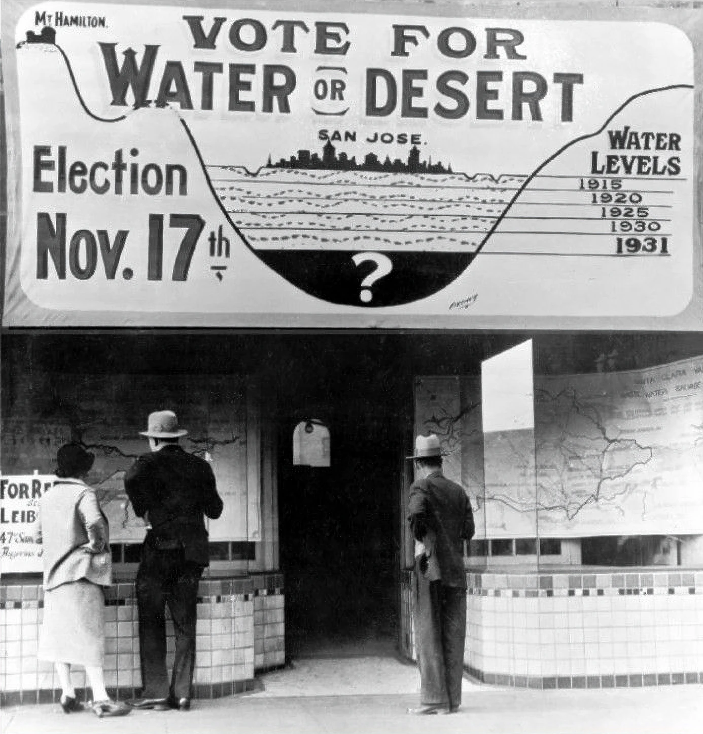
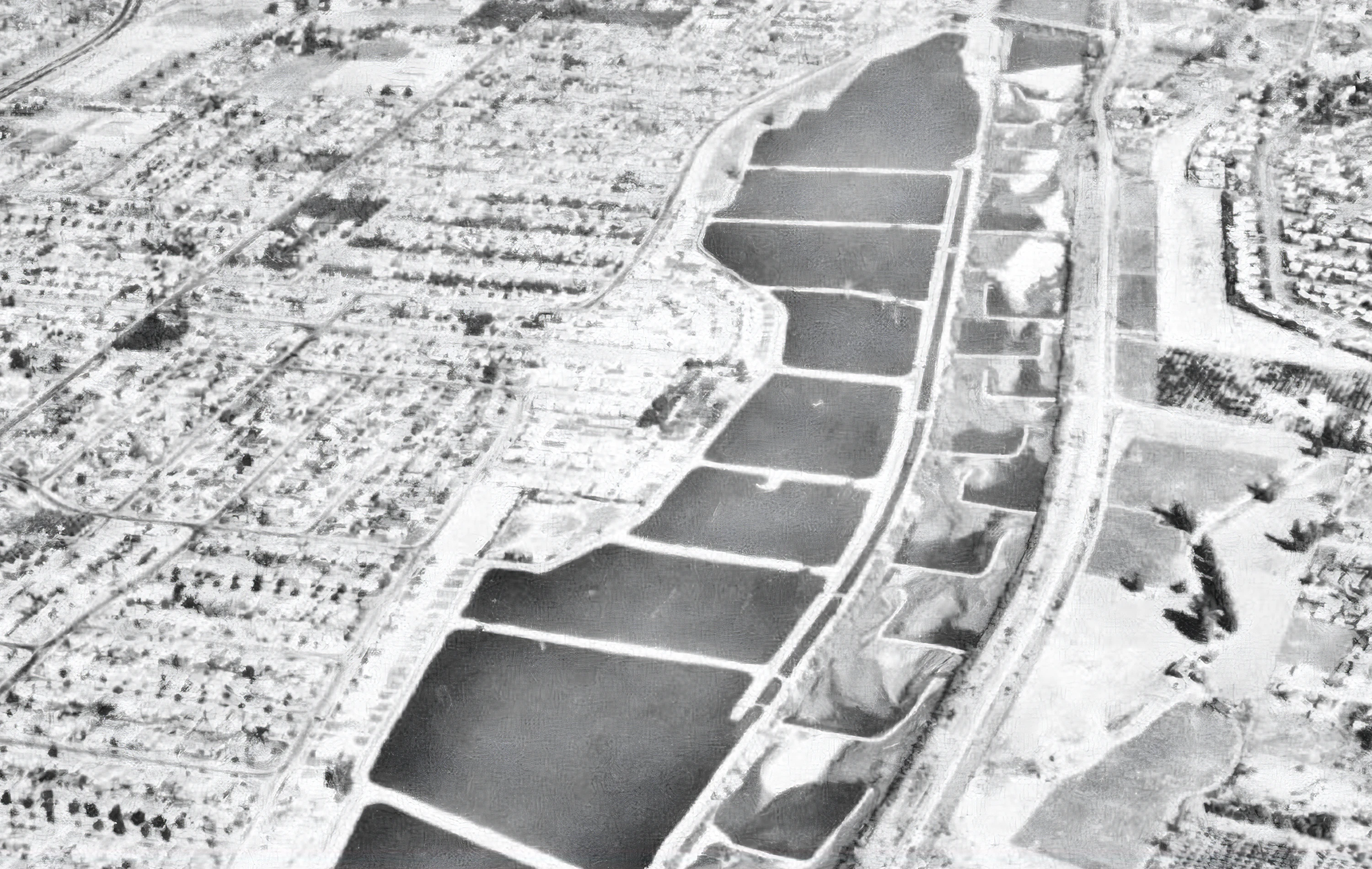
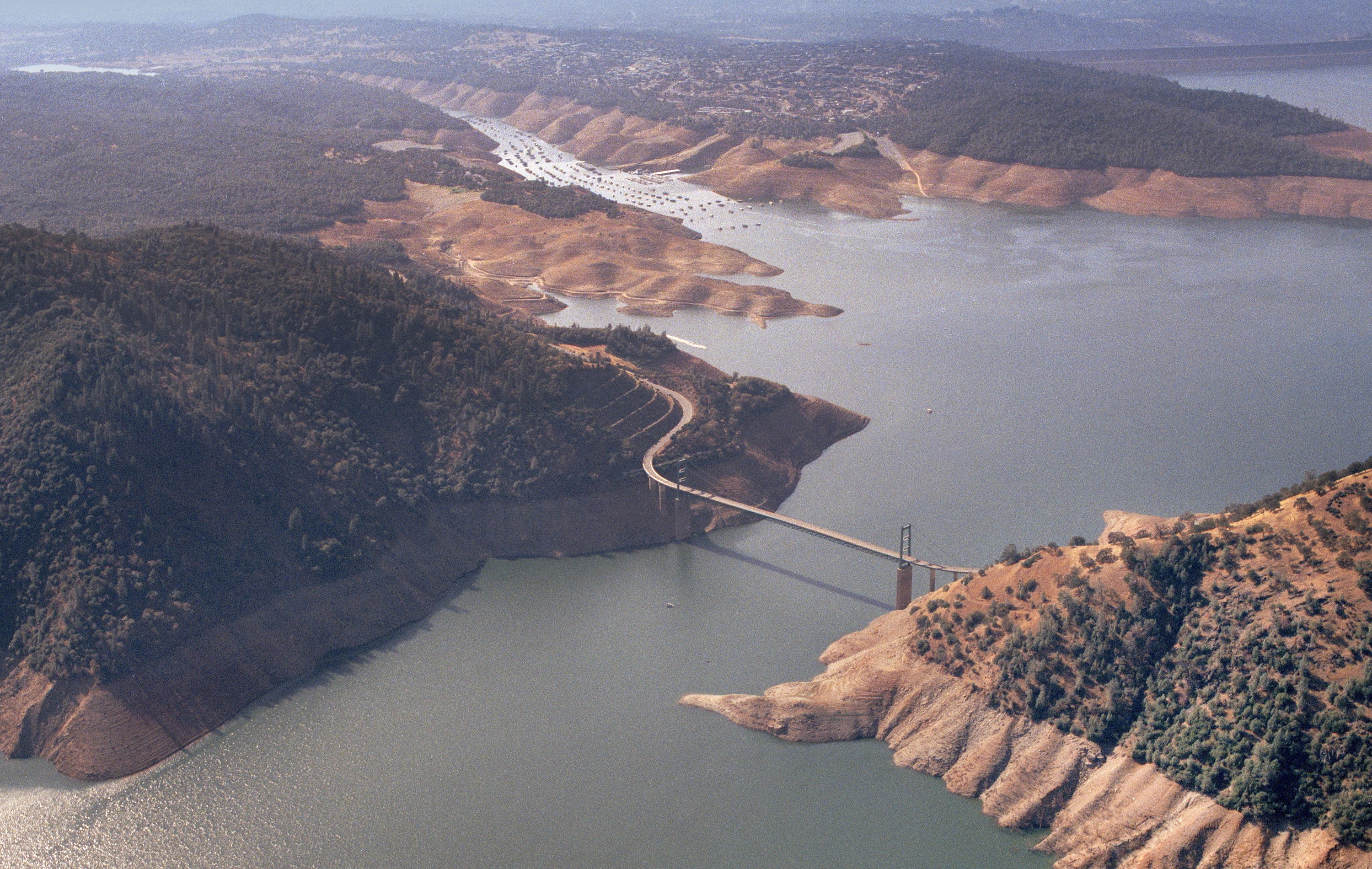
1950s The Groundwater Crisis
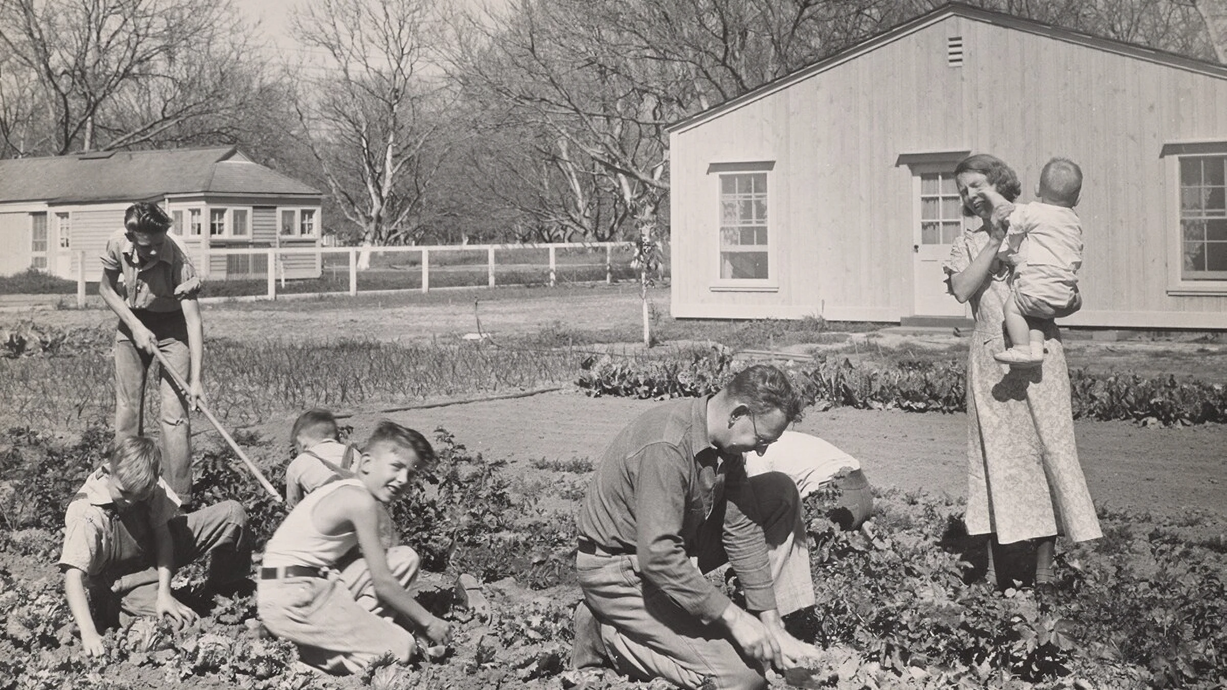
By the 1950s, postwar development led to intensive groundwater pumping, which drained water supplies and caused seawater to seep into coastal aquifers. Coupled with a proliferation of pavement from a rapidly urbanized area, LA County needed a new strategy to replenish their groundwater supplies.

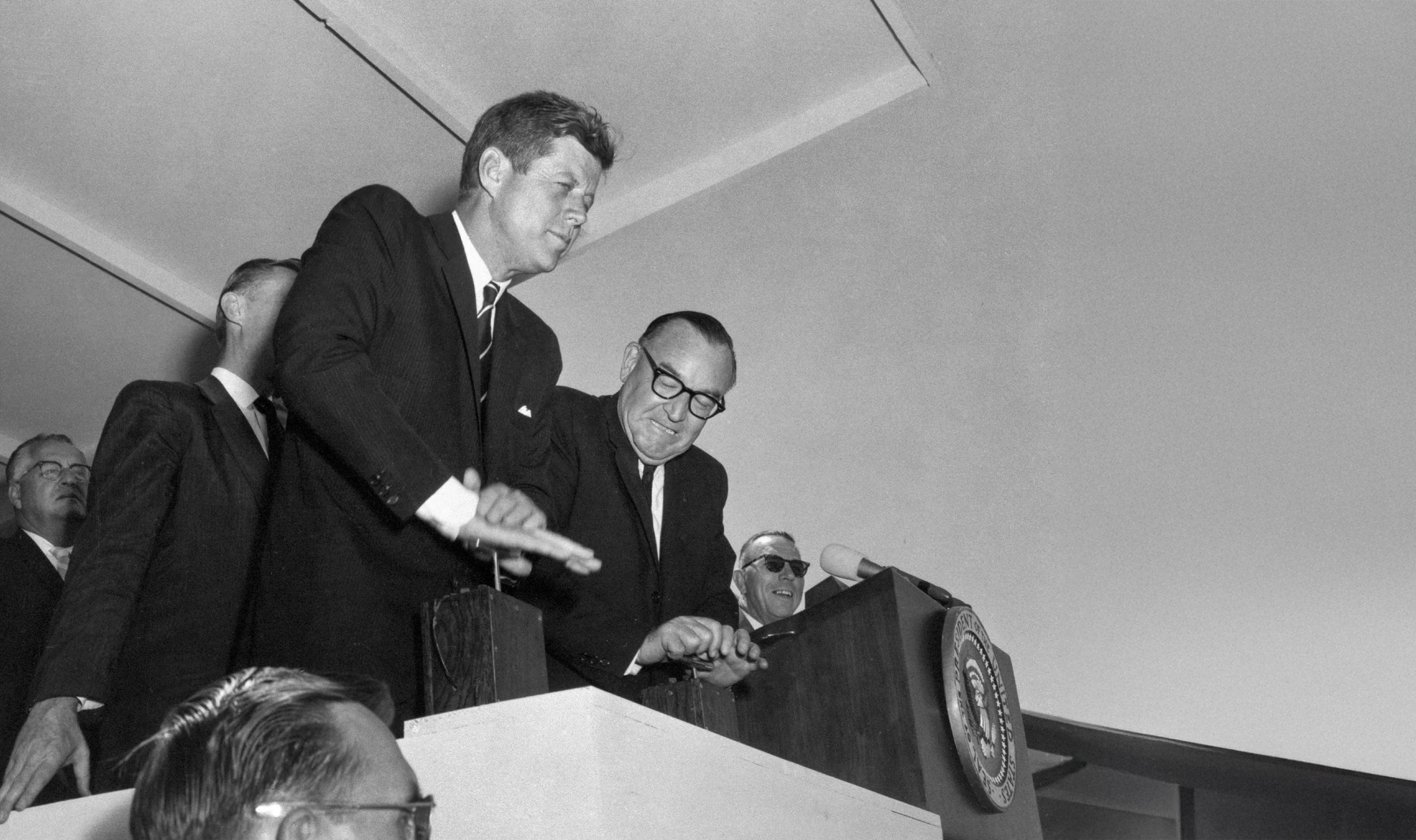
“I know of no better trip for any President or any Member of the House or Senate, or indeed any citizen, particularly those of us who live in the East, where water is everywhere and is a burden, to realize how very precious it is here in the western United States.”
President John F. Kennedy
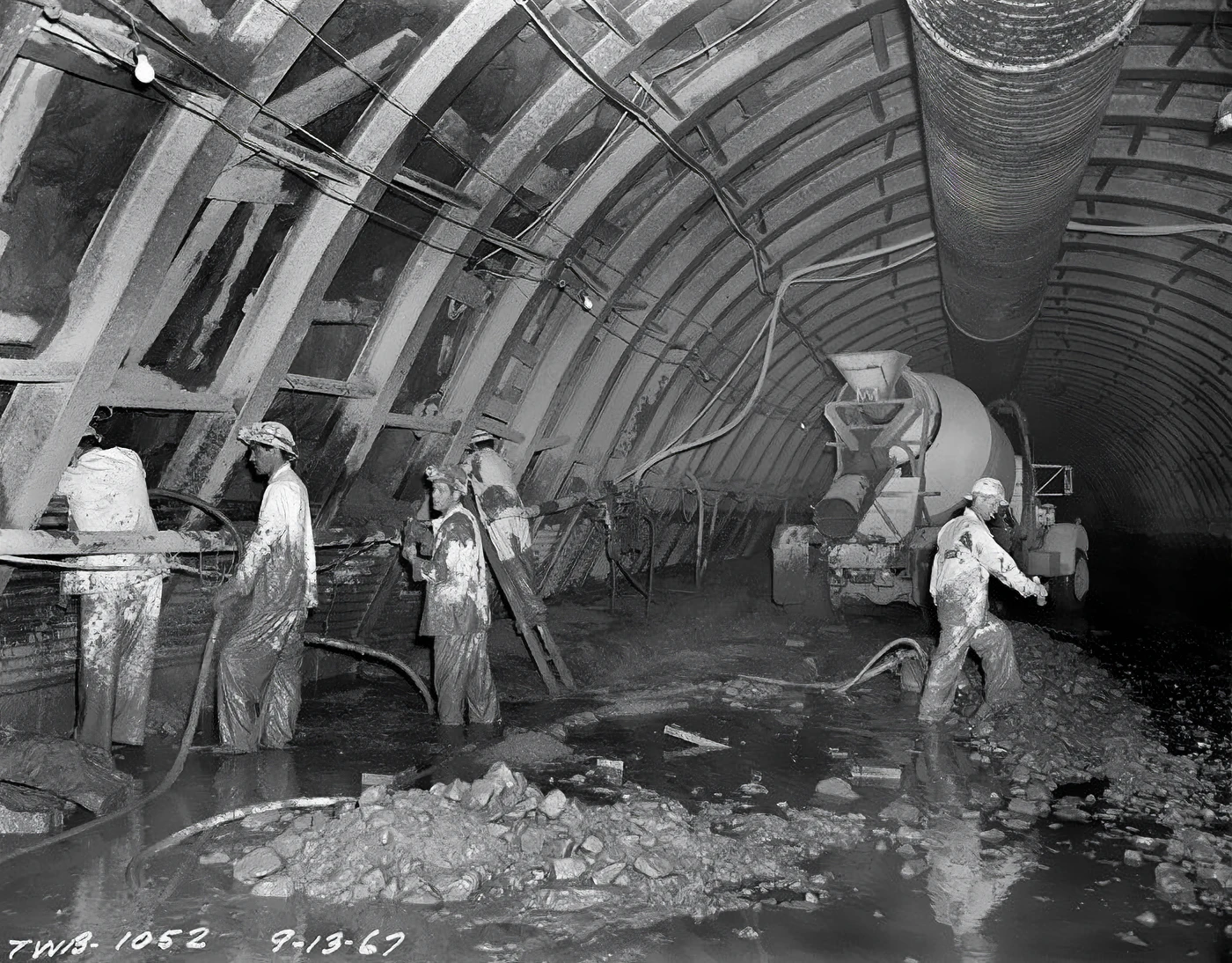
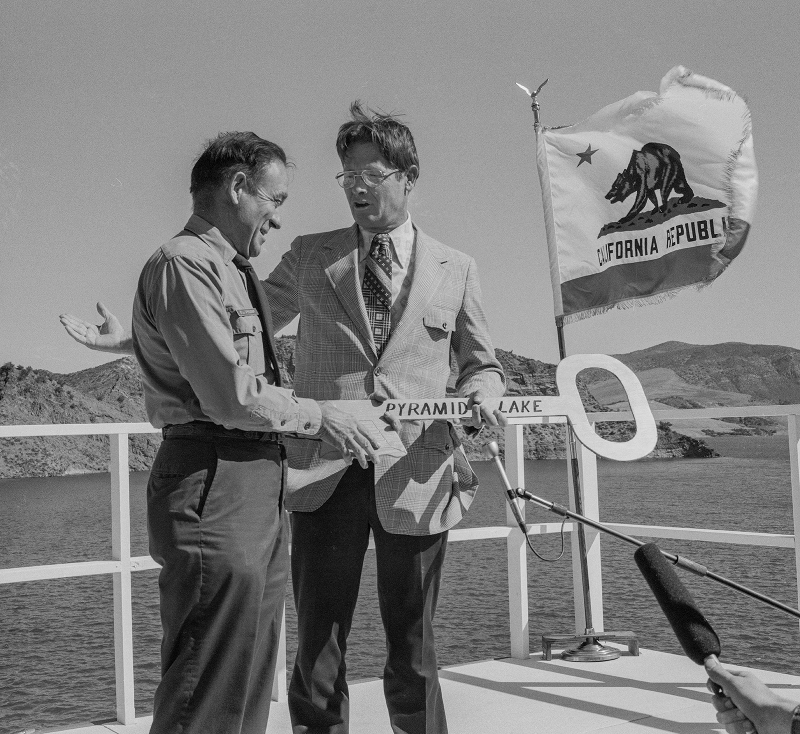
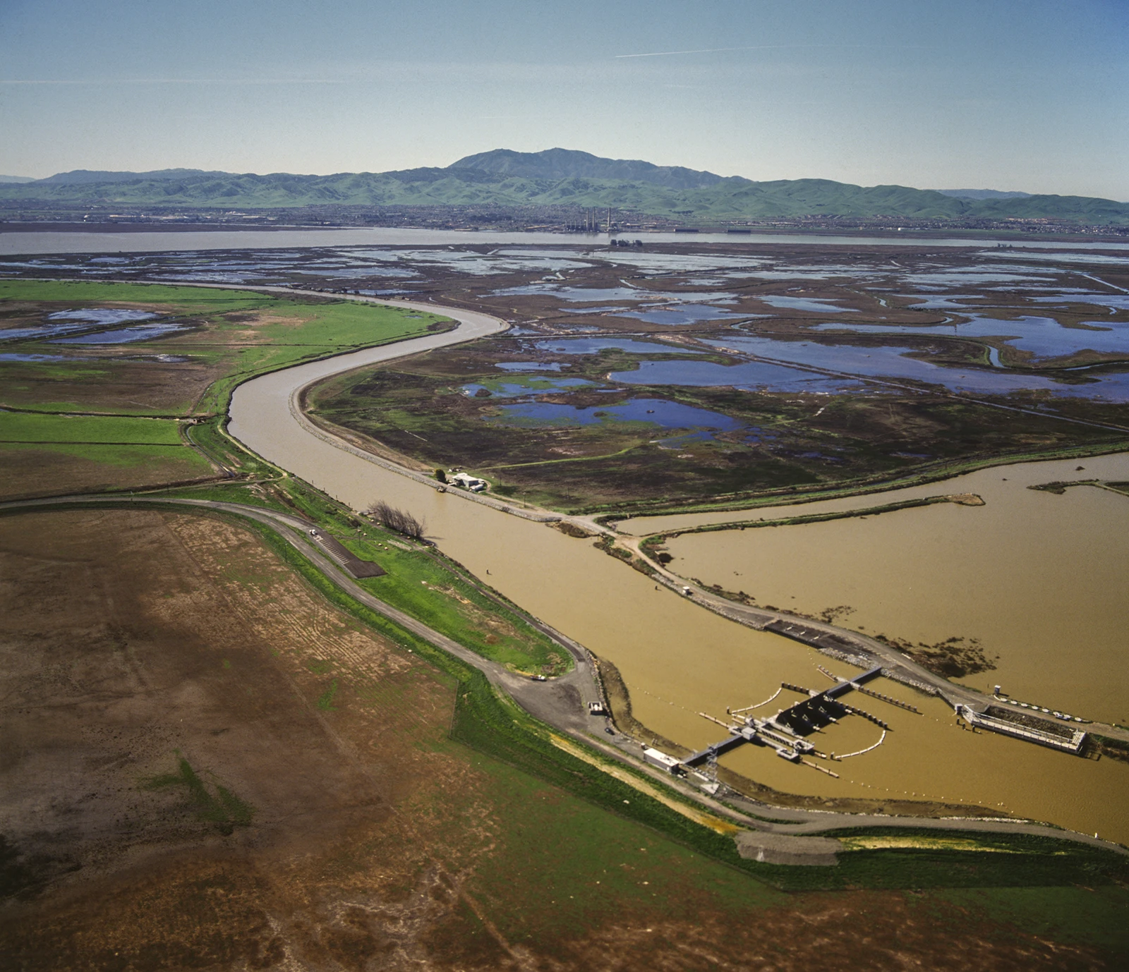
1960s A Statewide System Takes Shape
Now, California faced a different kind of water challenge. After World War II, millions of new residents poured into the state — most of them settling in Southern California, a region with only one percent of the state’s water supply. In response, California embarked on one of the largest water‑delivery systems in the world: the State Water Project.
2000s A New Era of Water
Since the turn of the 21st century, LA County has faced growing pressure on its water supply from population increases, severe droughts and the accelerating impacts of climate change. The historic 2011–2017 drought underscored the vulnerability of our water supplies and the need for investments in local water supply projects. In response, water agencies across the county have expanded efforts to build a sustainable and diversified water portfolio — capturing more stormwater, investing in advanced purified water systems, protecting groundwater and exploring emerging technologies such as desalination.


Educate the public and foster more sustainable behaviors to ensure the future of the region.